


Navigation
climbing Broad Stand
Navigation courses: Lake District navigation – Learn to navigate
Come out with Rock n Ridge on one of our navigation courses. If you’re looking for Lake District navigation/learn to navigate courses then you’ve come to the right place.
Offering one or two day packages our Learn to navigate courses are just the ticket to get you feeling far more confident when out in the hills.
Courses: Navigation courses – Lake District navigation – Learn to navigate
Because our learn to navigate courses are tailored to your needs we set the course to suit you! Learning to navigate can be tricky but we aim to break the course down into easy to remember tips and tricks to get you feeling more comfortable whilst out in the UK mountains, hills or paths.
Therefore we offer 2 Lake District navigation courses.
Firstly a one day course. Because we have only one day, we aim to get in as much practice as possible and drip feed the theory as we go.
Our second learn to navigate package is our two day navigation course. Here we can consolidate the theory and practice you’ve had on day one and let things sink in a bit more to give yourself a better understanding on how things work.
Venues: Navigation courses – Lake District navigation – Learn to navigate
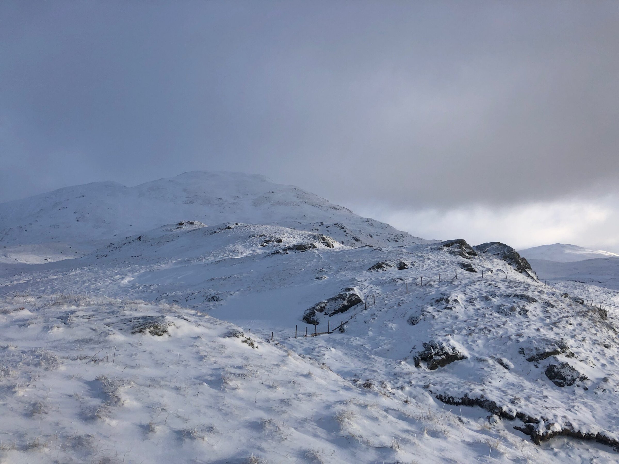
We’ve mentioned ‘Lake District navigation’ a few times on this page, but were not confined to the Lakes. Similarly we offer the same packages in Wales and Scotland. Get in touch to ask about this.
For our Lake District navigation courses, we use either Langdale in the southern Lakes or Borrowdale/Skiddaw range for the northern courses. Likewise if you have a venue in mind then this is perfect just ask!
Course content: Navigation courses
Below is a breakdown of what you will be learning. This is not written in stone and will vary depending on your knowledge, requirements and where people are at with their navigation.
One-day navigation course:
- Maps – Sizes, symbols & orientation
- Compass – Various models/knowing your way round a compass
- Map orientation – An often overlooked essential skill
- Map/Ground features – Relaying map to ground and vice versa
- Bearings – What to do
- Measuring – Map to destination distance
- Features – Contours and Identifying ground features and how they look on a map
- Watches – A quick look at how these useful devices play an important role in todays navigation
Two-day learn to navigate course. As above but with:
- Consolidate – You’ve learned lots, had a sleep and now ready to put it all into practice!
- Relocation – What to do when things don’t go as planned…
- Features x2 – Looking at more features and some of the more obscure ones that we come across
- Tool box – You’ve probably (or not) heard of – ‘Hand railing’ ‘Back bearings’ ‘Triangulation’ ‘Aiming off’ ‘Boxing’ ‘Aspect of slope’ nope! These go into our ‘tool box’ and we can pick em out at any time
- The 4 D’s – Distance, direction, duration, description – We look more closely at these.
- And more
Classic navigation errors:
- Holding the map wrongly – You rush to find where you are and don’t put the map to the grounds features resulting in guessing/talking yourself into an area your away/miles away from!
- 180 degrees out – When taking a bearing you line the grid lines up wrongly and place the red compass north – south lines 180 degrees in the wrong direction. Therefore you swill walk off in the opposite direction than you want to go.
- I’m here right – Making the map fit into the terrain your on is a classic! Talking yourself into somewhere your clearly not is an error that even experienced navigators can and still do. You’re not alone. After all, you could convince yourself that your in north Lakes rather than the south if you look at the map long and hard enough!
- Inaccurate bearings – Not taking time whilst setting the bearing, and also not walking in a straight line when following a bearing is another common mistake.
- Old equipment – The picture in the slide show at the top shows a compass that’s on it’s way out. If the bubble is larger than 5/6mm it’s time for a new one.
Further reading
Cotswold: Nav tips – Here
UKH: Beginners guide – Here


