Navigation
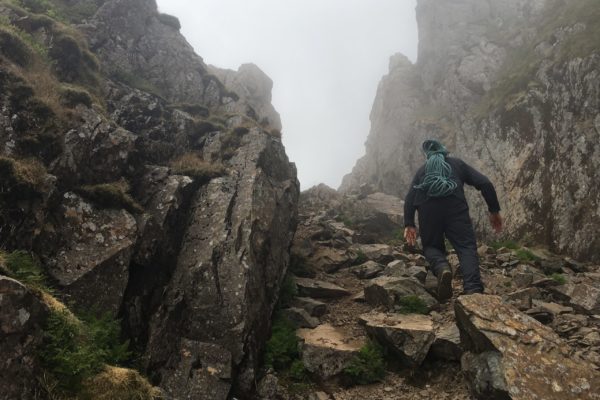
climbing Broad Stand
Navigation courses: Lake District navigation – Learn to navigate
Come out with Rock n Ridge on one of our navigation courses. If you’re looking for Lake District navigation/learn to navigate courses then you’ve come to the right place.
Offering one or two day packages our Learn to navigate courses are just the ticket to get you feeling far more confident when out in the hills.
Courses: Navigation courses – Lake District navigation – Learn to navigate
Because our learn to navigate courses are tailored to your needs we set the course to suit you! Learning to navigate can be tricky but we aim to break the course down into easy to remember tips and tricks to get you feeling more comfortable whilst out in the UK mountains, hills or paths.
Therefore we offer 2 Lake District navigation courses.
Firstly a one day course. Because we have only one day, we aim to get in as much practice as possible and drip feed the theory as we go.
Our second learn to navigate package is our two day navigation course. Here we can consolidate the theory and practice you’ve had on day one and let things sink in a bit more to give yourself a better understanding on how things work.
Venues: Navigation courses – Lake District navigation – Learn to navigate
We’ve mentioned ‘Lake District navigation’ a few times on this page, but were not confined to the Lakes. Similarly we offer the same packages in Wales and Scotland. Get in touch to ask about this.
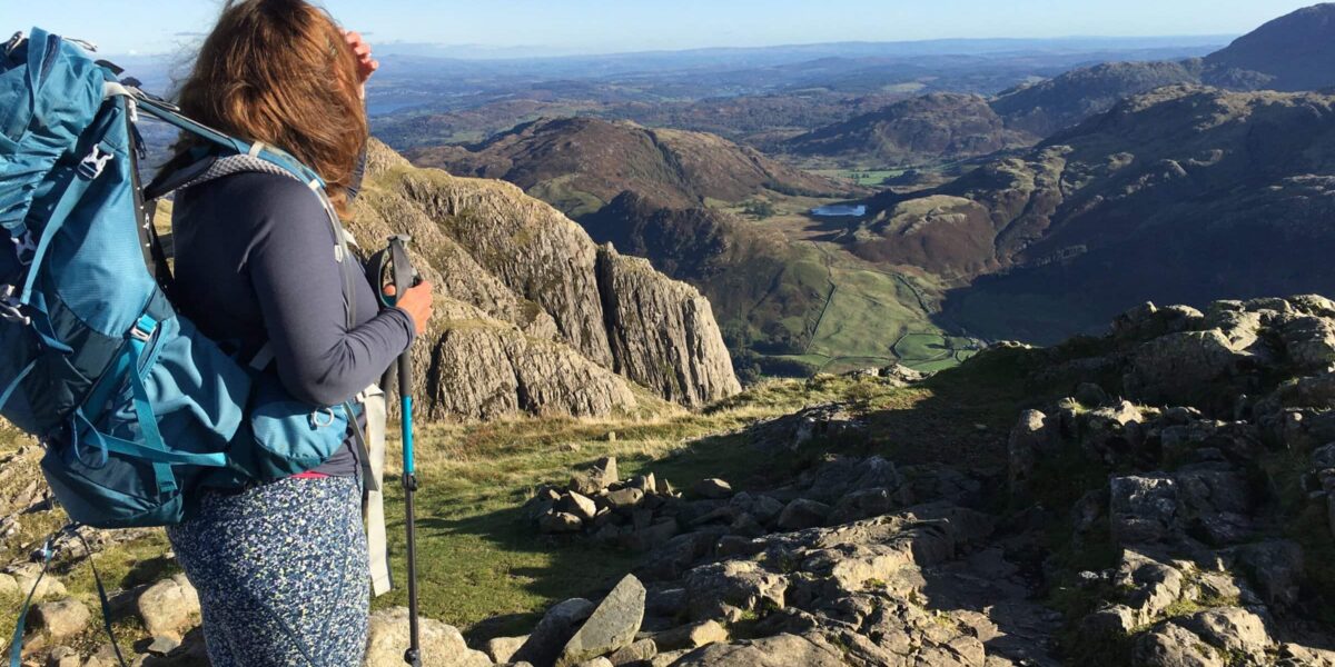
For our Lake District navigation courses, we use either Langdale in the southern Lakes or Borrowdale/Skiddaw range for the northern courses. Likewise if you have a venue in mind then this is perfect just ask!
Course content: Navigation courses
Below is a breakdown of what you will be learning. This is not written in stone and will vary depending on your knowledge, requirements and where people are at with their navigation.
One-day navigation course:
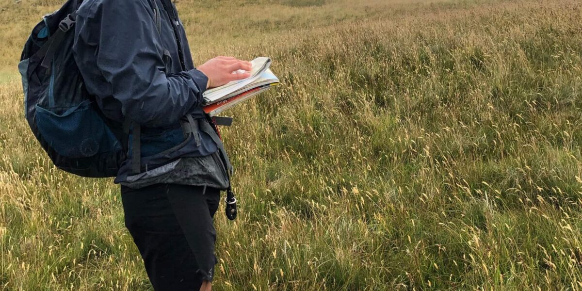
- Maps – Sizes, symbols & orientation
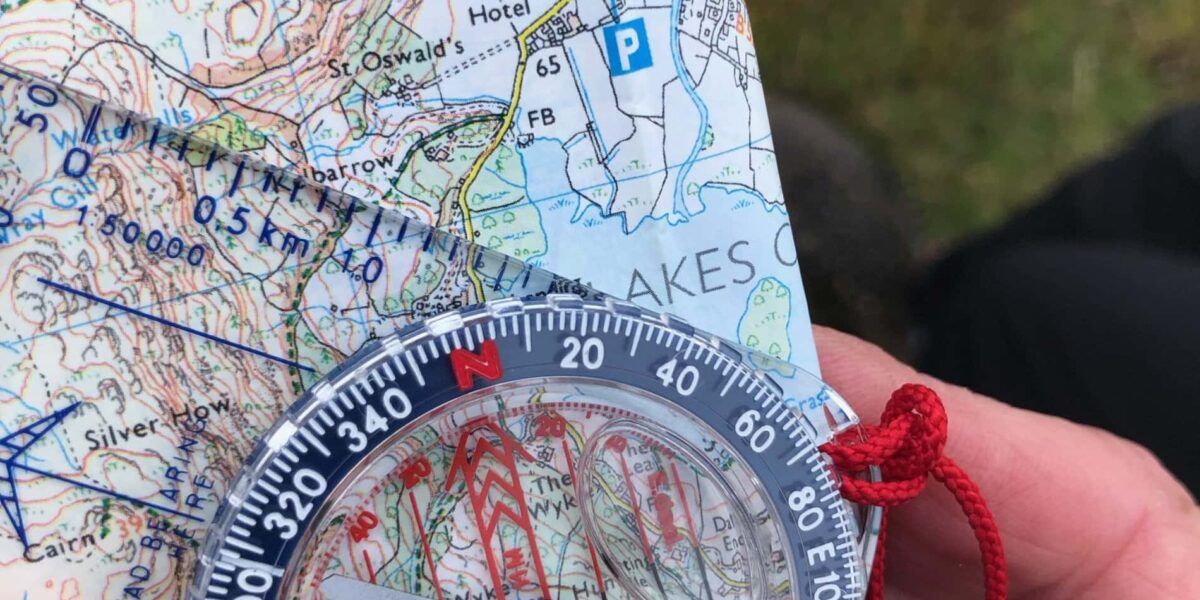
- Compass – Various models/knowing your way round a compass
- Map orientation – An often overlooked essential skill
- Map/Ground features – Relaying map to ground and vice versa
- Bearings – What to do
- Measuring – Map to destination distance
- Features – Contours and Identifying ground features and how they look on a map
- Watches – A quick look at how these useful devices play an important role in todays navigation
Two-day learn to navigate course. As above but with:
- Consolidate – You’ve learned lots, had a sleep and now ready to put it all into practice!
- Relocation – What to do when things don’t go as planned…
- Features x2 – Looking at more features and some of the more obscure ones that we come across
- Tool box – You’ve probably (or not) heard of – ‘Hand railing’ ‘Back bearings’ ‘Triangulation’ ‘Aiming off’ ‘Boxing’ ‘Aspect of slope’ nope! These go into our ‘tool box’ and we can pick em out at any time
- The 4 D’s – Distance, direction, duration, description – We look more closely at these.
- And more
Classic navigation errors:
- Holding the map wrongly – You rush to find where you are and don’t put the map to the grounds features resulting in guessing/talking yourself into an area your away/miles away from!
- 180 degrees out – When taking a bearing you line the grid lines up wrongly and place the red compass north – south lines 180 degrees in the wrong direction. Therefore you swill walk off in the opposite direction than you want to go.
- I’m here right – Making the map fit into the terrain your on is a classic! Talking yourself into somewhere your clearly not is an error that even experienced navigators can and still do. You’re not alone. After all, you could convince yourself that your in north Lakes rather than the south if you look at the map long and hard enough!
- Inaccurate bearings – Not taking time whilst setting the bearing, and also not walking in a straight line when following a bearing is another common mistake.
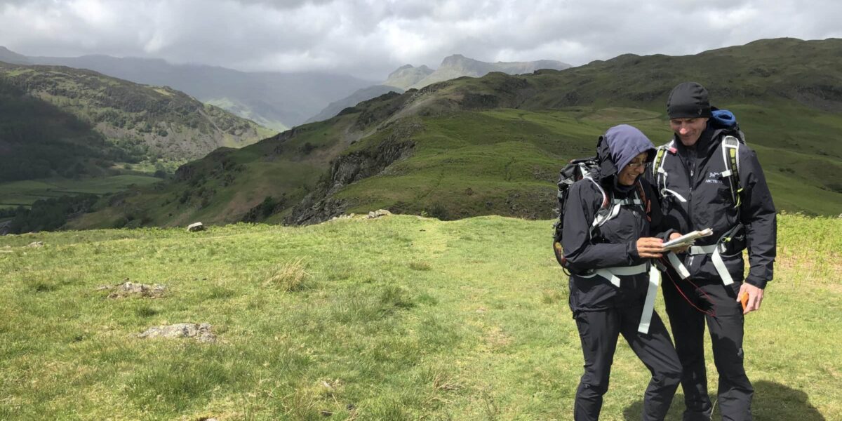
- Old equipment – The picture in the slide show at the top shows a compass that’s on it’s way out. If the bubble is larger than 5/6mm it’s time for a new one.
Further reading
Cotswold: Nav tips – Here
UKH: Beginners guide – Here

Pricing:
1 day Lake District navigation course: Price per person.
These prices are the same for our beginners / Intermediate navigation courses. And the same for our advanced learn to navigate courses.
1:1 = £180
1:2 = £90
1:3 = £70
1:4 = £60
1:5 = £50
2 day navigation course: Per person.
1:1 = £360
1:2 = £180
1:3 = £140
1:4 = £110
1:5 = £95
A £50 deposit is required to book a place. See our Contact and Pricing page for more details.
For larger groups of 5 persons please get in touch for pricing.
* Max group size is 5 persons for one instructor. Too many people decreases learning so we keep it to smaller groups.
What the pictures mean:
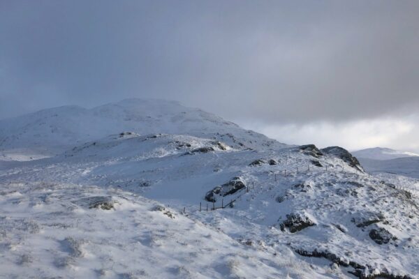
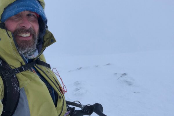
So the above pictures were shot in winter 2023. This was a solo day up Ben Challum near Tyndrum. As a mountain instructor I do a lot of solo days (especially as i’m now trying to finish my Munros, and love the hardship – not sure why of winter) This particular trip was on the back of a 3 day guiding stint in Glencoe where we had done some big rounds including winter skills course – see here for more info.
Weather
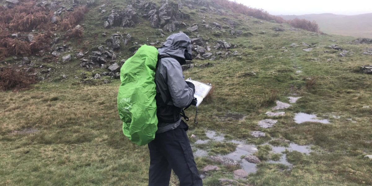
I knew the weather was most likely to be bad visibility on the tops, what i didn’t realise was that it was set in pretty much around the summit i was aiming for! This can happen a lot especially in Scotland and so being prepared, having compass and map skills and staying cool in adversity is the name of the game. On this occasion it was the ‘white room’ experience where you can’t fathom which way is up down, or side to side! Bit like deep water diving into the blue, they call this vertigo.
Going, going, gone!
Picture 1 was on the way up to Ben Challum – Good visibility but you can see it’s going to fade as height increases. Picture 2 was the summit shot – Probably around 5-10 metres of visibility from around 750m onwards – Picture 3 a minute later after picture 2 was taken is still the summit, now with zero visibility! Therefore you got to ask yourself could you navigate out of that? What would you do? Now you’re probably thinking well I don’t go out, or do much in winter so i’m alright? This can happen in summer conditions too with think mist, clag/cloud. Because our courses are tailored for the individual, our aim is to send you away with greater knowledge, and confidence when venturing out into the hills.

